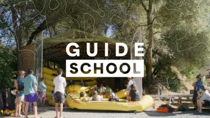
Two-Day South Fork American River Rafting


South Fork of the American River rafting near Sacramento is the perfect weekend getaway or 2-day add-on to a California family vacation.
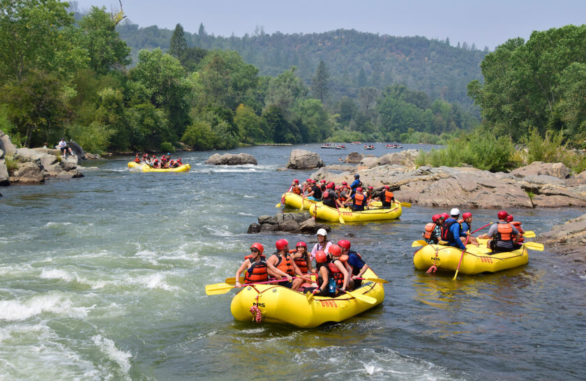
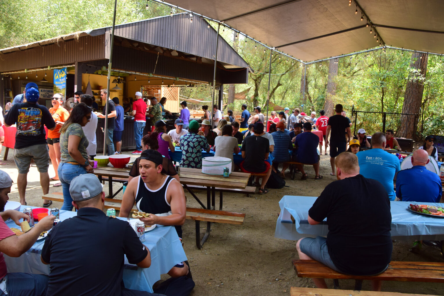
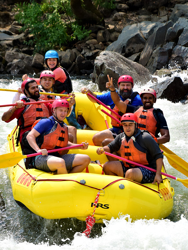
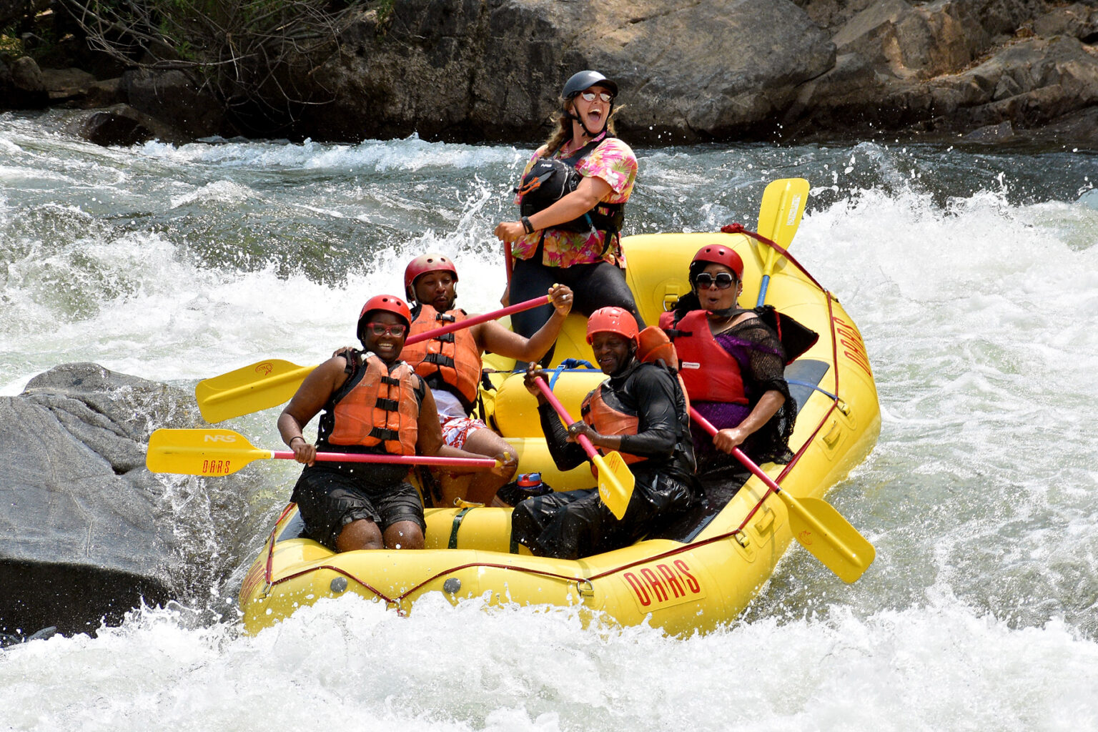
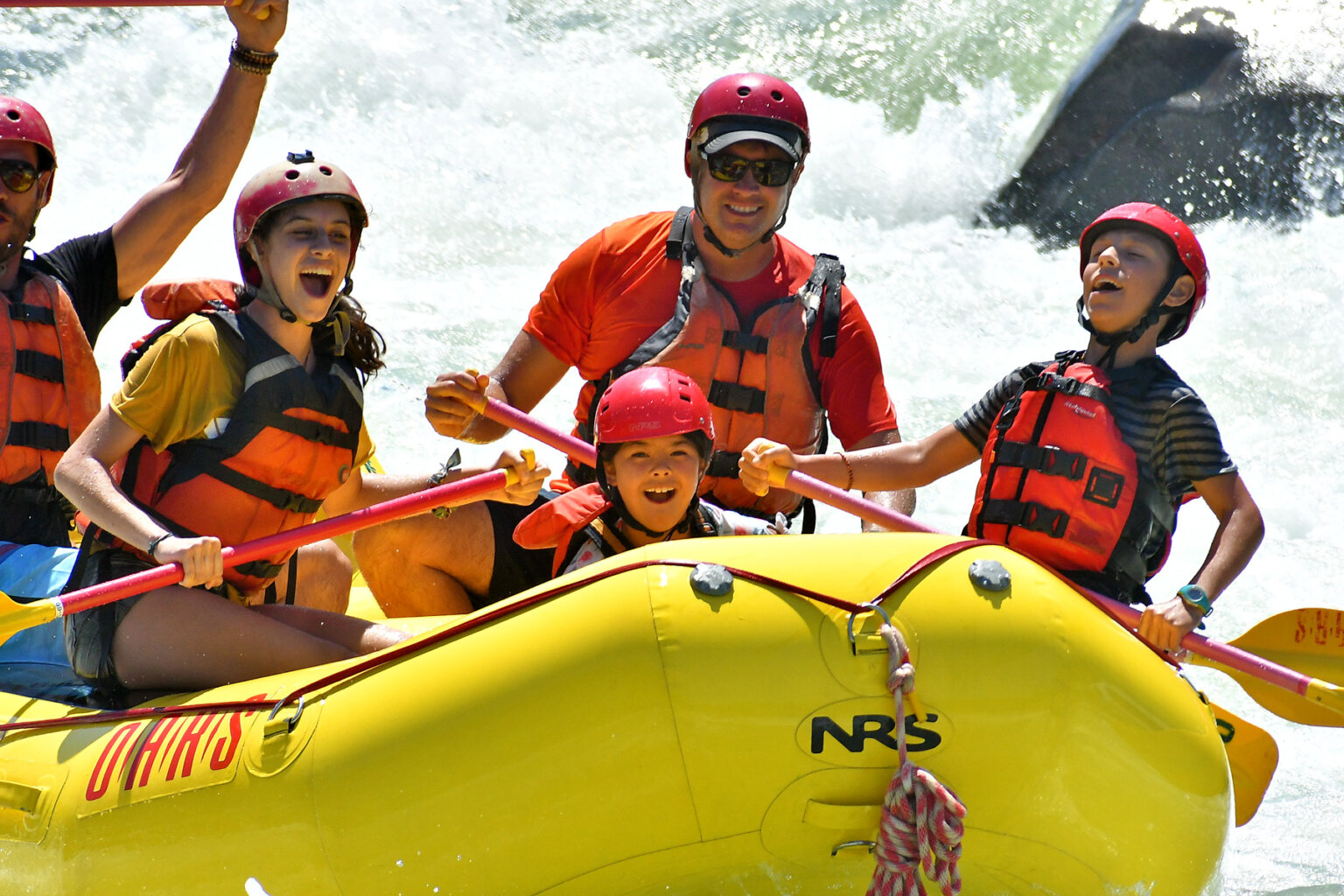
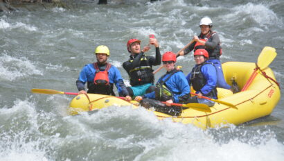
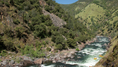
This South Fork American River rafting trip is one of our guests’ all-time favorite whitewater rafting adventures and offers two fun-packed days of exciting whitewater. Experience all 21 miles of the South Fork starting with the Gorge Run on the first day followed by a hot shower, catered dinner, and a night of camping. Then, wake up to a hearty breakfast in camp before heading off to challenge the Chili Bar section of the South Fork. We make this California whitewater adventure super easy.
And the best part? You can enjoy all of the scenic wilderness, Gold Rush history, and awesome whitewater rafting that this classic California river has to offer just a short, one-hour drive away from Sacramento. Grab your crew and let’s go rafting!
Trip Highlights
What to Expect
Itinerary & Map
Itinerary at a Glance
We pride ourselves in running a relaxed and flexible schedule. Every whitewater rafting adventure on the American River is different depending upon the group, other trips on the water, and sometimes the weather. The following is a sample of what your trip might be like:
Day 1
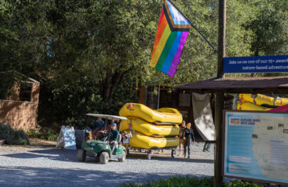
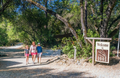
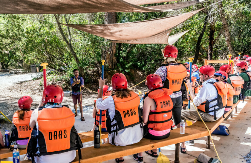
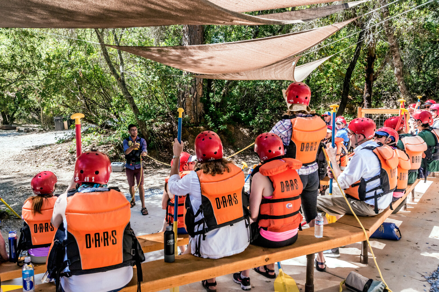
Meet at the OARS American River Outpost the morning of your trip. Once everyone checks in with the trip leader, your guides will deliver an orientation and safety talk and fit you with your helmet and PFD (wetsuits and splash tops are also included on all early-season and cold-weather trips). Then, we’ll walk down to our beach and launch our rafts right from camp.
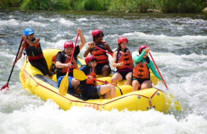
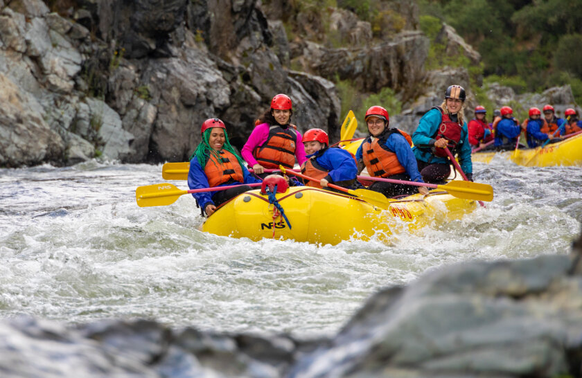
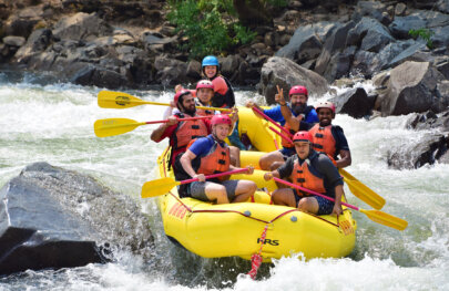
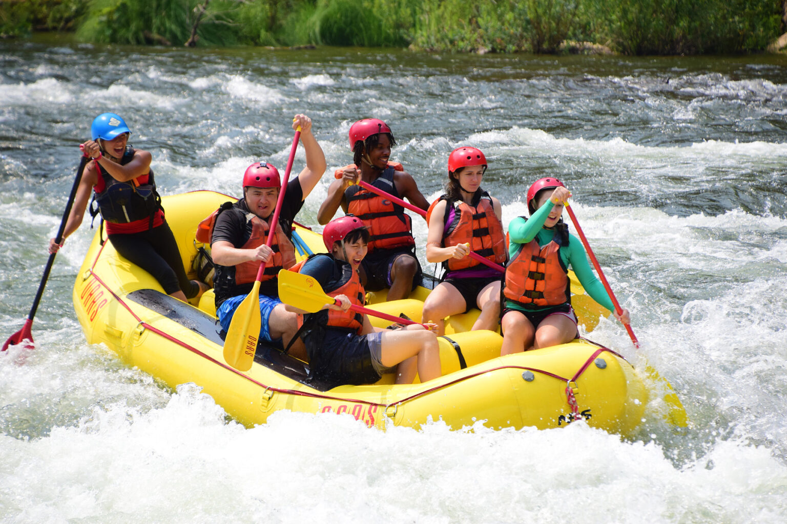
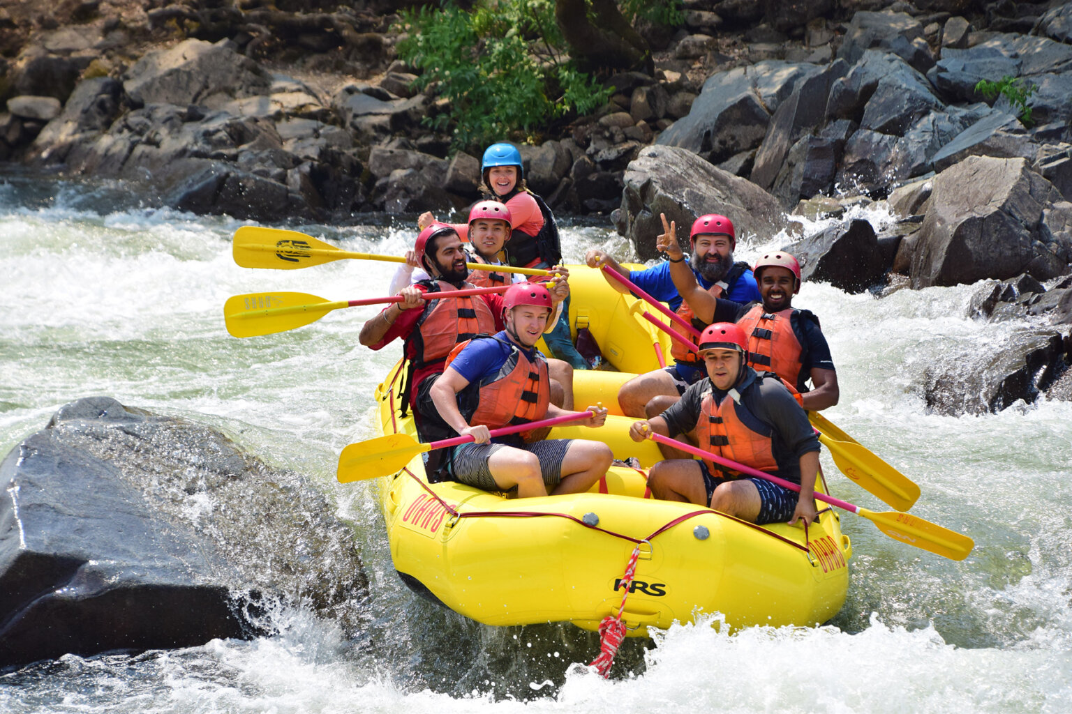
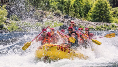
The first part of the day starts off mellow with several miles of Class II rapids allowing you to practice your paddling skills and enjoy plenty of swimming opportunities. Don’t miss the chance to hop in the water for Swimmers’ Rapid, a fun wave-train rapid that lets paddlers experience what it feels like to swim a rapid, before entering the ever-exciting “Gorge” later in the day.
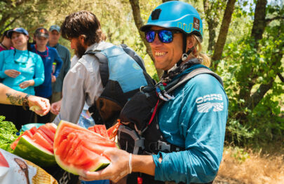
Come lunchtime, we will pull over to a beach for a delicious guide-prepared picnic. There is access to a BLM pit-toilet restroom at our lunch location. After lunch, we’ll keep an eye out for Gorilla Rock before the canyon walls constrict and we reach Fowler’s Rock, the first of our action-packed Class III rapids that will offer up big thrills throughout the afternoon.
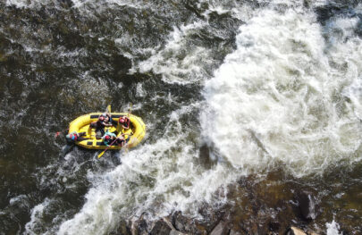
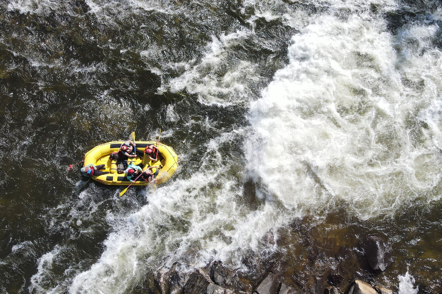
The real excitement comes at us when we officially enter the Gorge and reach Satan’s Cesspool, the biggest rapid of the day, followed by other favorite rapids like Scissors, Bouncing Rock and Hospital Bar. As we get closer to the take-out, one last “Surprise” may sneak up on us and provide an exciting finale to our day on the water.
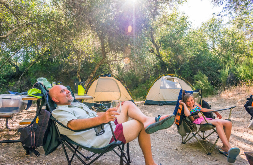
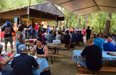
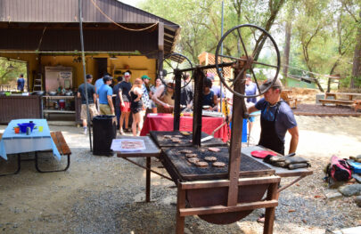
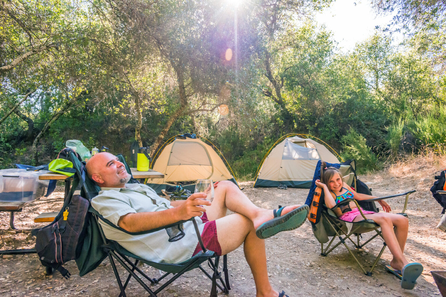
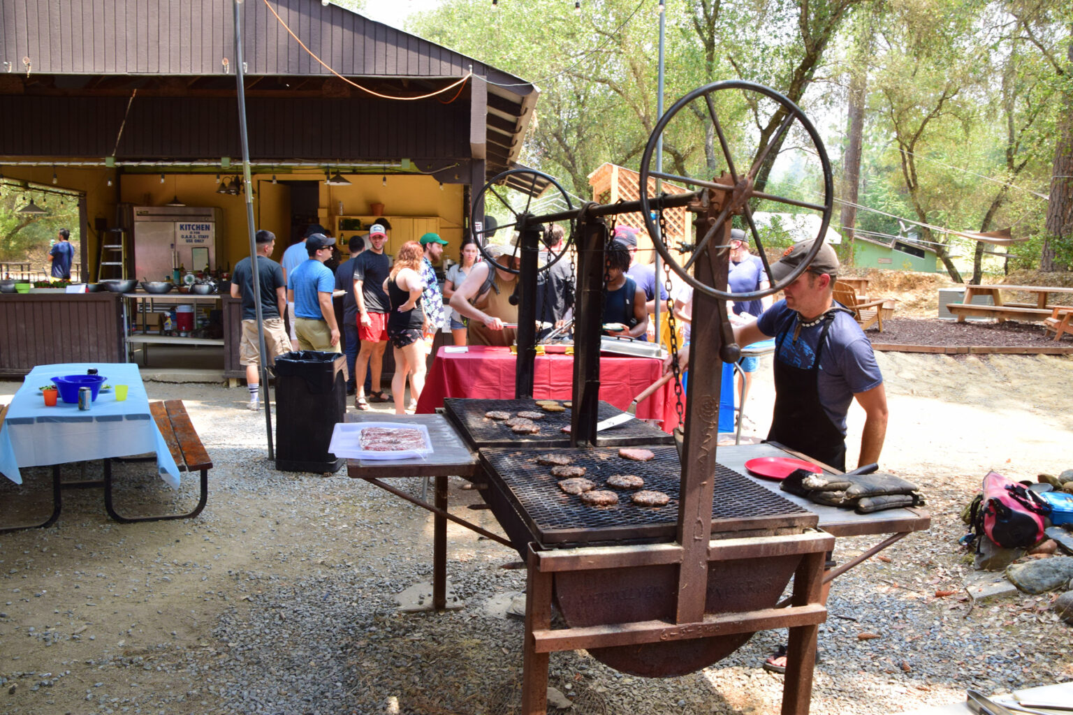
At the Salmon Falls Bridge take-out point, our shuttle vehicles take us back to camp where you are welcome to go for a swim, take a hot shower or sit back and relax with a beverage as our staff prepares a delectable dinner.
Day 2
The next morning, following a hot breakfast, we’ll hop in a shuttle for a quick, 25-minute drive upstream to the Chili Bar put-in.
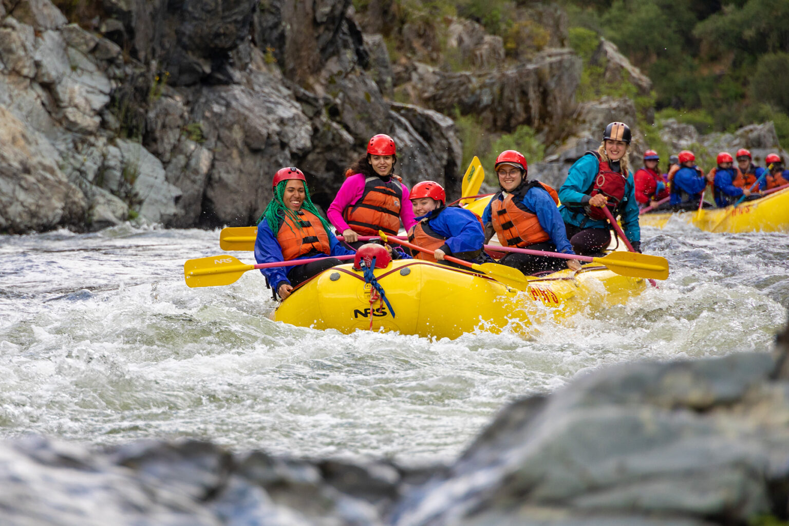
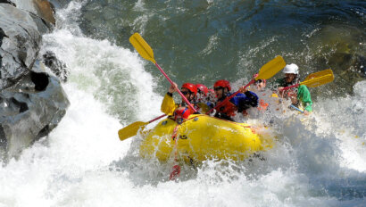
Meatgrinder Rapid is the exciting initiation to day two of splashy, big-water fun on the upper section of the South Fork. Later, two more doozies, Triple Threat and Troublemaker, test our paddling skills and teamwork.
The final stretch of Chili Bar provides plenty of bouncy Class I-II rapids and the chance to go for a dip one last time before arriving back to our campground where our guides will prepare another tasty lunch.
Our peaceful hideaway is surrounded by plenty of Gold Rush history, recreational opportunities, and cultural activities. Stay with us as long as you like and explore the region.
Meeting Time & Place
Location
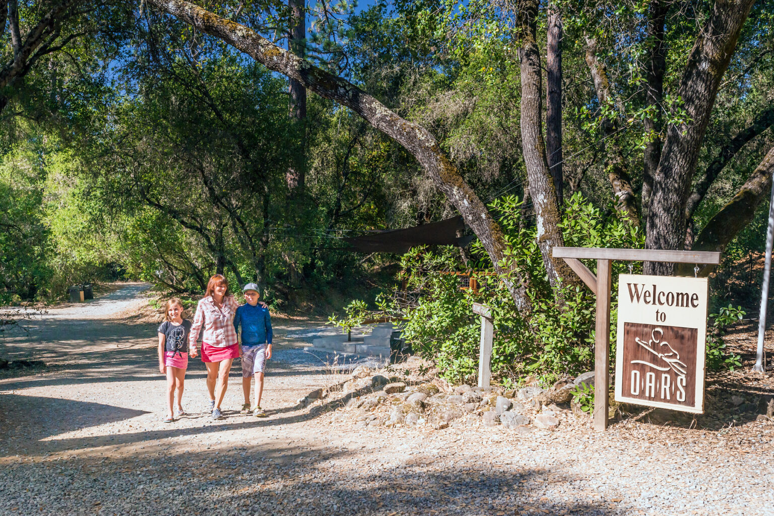
OARS AMERICAN RIVER OUTPOST
7330 River Park Drive, Lotus, CA 95651
Adjacent to where Hwy 49 crosses the river, behind Hotshot Imaging and the River Park shopping center. View our American River Outpost driving directions.
GPS Coordinates: 38.806327, -120.903538
Meeting time
10:30 AM or 11 AM on Day 1 (refer to pre-trip email)
Return
Approximately 2 PM on Day 2, depending on water levels
Trip Map
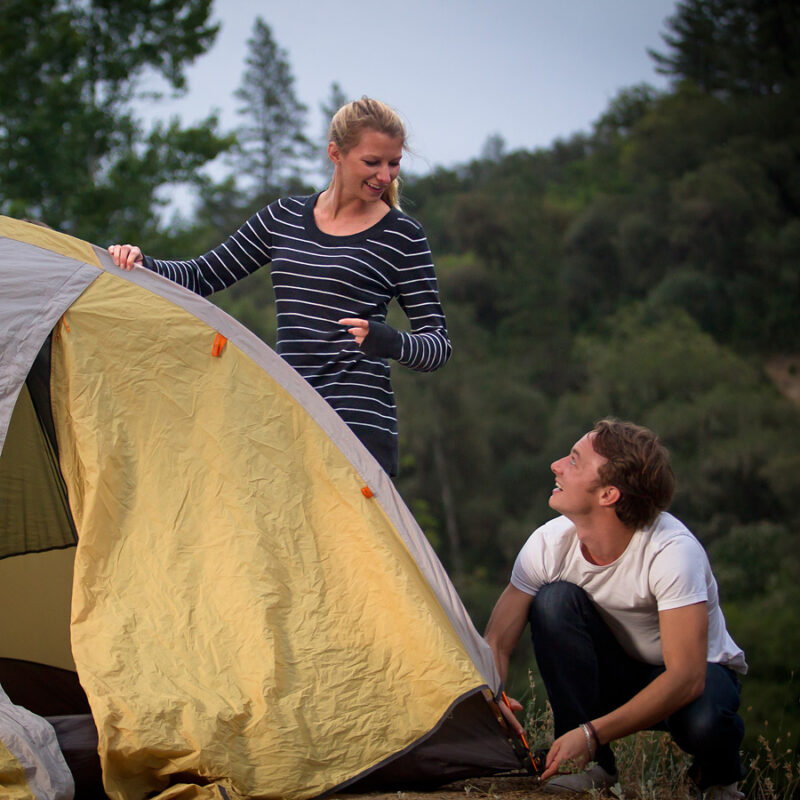
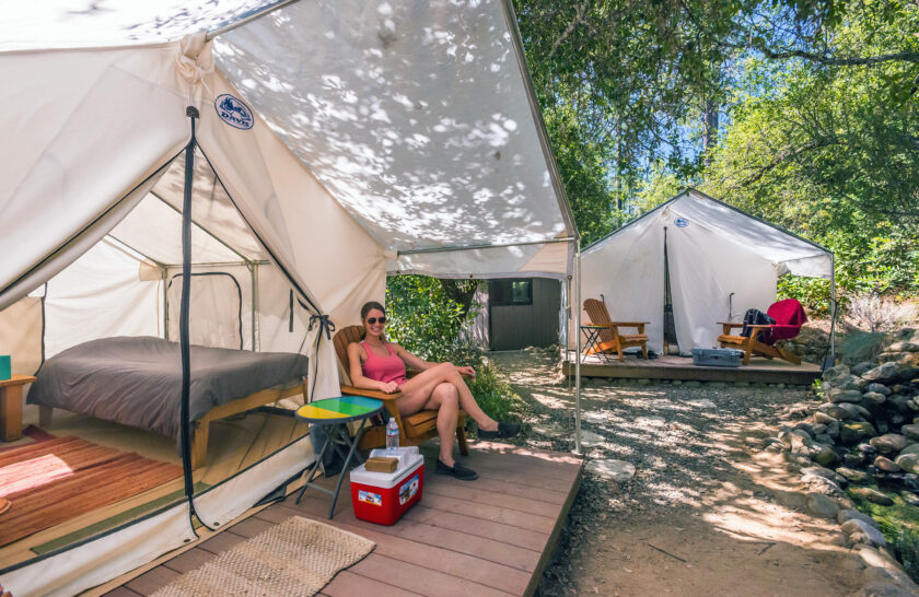
Camp With Us!
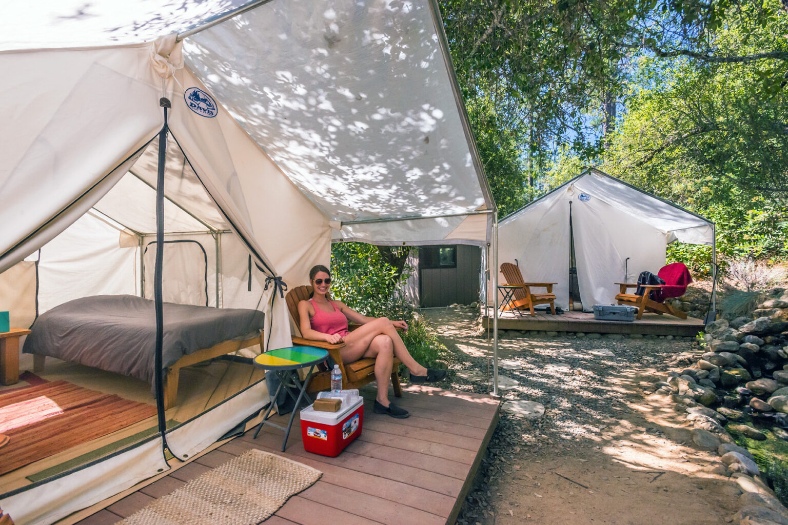
Limited camping for rafters is available before and/or after your trip at the OARS American River Outpost in Lotus. All nights of camping are $15 per person/night. Advance reservations are required. Please ask an Adventure Consultant about the details of staying at our beautiful riverside camp.
Campground Amenities
Located on twelve gorgeous acres, stretching over a third of a mile on the riverfront, the OARS campground offers modern shower and bathroom facilities, a small store (cash currently not accepted; cards and electronic payments only), beach and river access, camp games, and free WiFi. All within a few minutes walk of Sierra Rizing Bakery & Coffee House and a handful of other local restaurants.
Don’t have your own gear? Rental options include:
- 2-Person Pre-set Platform Tent (with 2 comfy twin beds, all bedding, and a private deck with two chairs): $129/night (includes camping fee)
- Sleep Kit (sleeping bag, pad, pillow & sheet): $25 per person
- 2-Person Tent: $30
- 4-Person Family Tent: $50
Please note that camping reservations must be made in advance of arrival and guests may check-in between 3:30 and 8 PM. Payments for platform tents at the American River Outpost are refundable if canceled at least 7 calendar days prior to scheduled arrival; cancellations made 6 days or less prior to scheduled arrival are non-refundable.
Dates & Prices
April 15 – Labor Day: Monday/Tuesday
April 15 – September: Thursday/Friday
April 15 – September: Saturday/Sunday
April 15 – September: Sunday/Monday – Holiday weekends or by group request (12 or more guests)
| 2024 Prices | |
|---|---|
| Standard Value | $359 |
| Youth Value | $329 |
| Standard Rate* | $399 |
| Youth Rate* | $379 |
*Applicable Saturdays June 15 – August 17
ADDITIONAL COSTS:
• $8 per person federal, state, and local access fees
The Need-to-Know Info
Trip Details
Included in Your Trip Cost
Not Included in Your Trip Cost
- Transportation to and from our meeting location at our American River Outpost
- River access fees
- Pre- and post-trip accommodations and meals
- Wetsuit booties or shoes of any kind
- Insurance of any kind, including a travel protection plan
- Gratuities
- Tents and sleep kits (available to rent from OARS)
The number and variety of boats on an OARS trip will vary based on water levels, the number of participants, and other factors we take into account when planning your adventure. Please be aware that in doing so we will ask you to share boat time with your fellow travelers. We don’t assign boats, nor can we guarantee exactly which crafts we bring, but trust us to provide you with the best possible mix for you and others on your trip.
Learn more about the OARS Fleet and the boats that may be a part of your experience: Paddle raft, paddle raft with oar assist

Our 2-day South Fork American River rafting trip includes all meals from lunch on Day 1 through lunch on Day 2. Please let us know if you have any dietary needs that we’ll need to consider in planning your trip.
- Breakfast – Warm breakfasts typically feature classic options like pancakes, french toast, breakfast sandwiches, or burritos with all the fixings. Bacon or sausage, fruit, as well as cereal, yogurt, and granola are also typically provided along with coffee and tea.
- Lunch – Picnic lunches on the river are typically an abundant spread of cold cuts, cheeses, veggies, and breads, or perhaps a fresh Caesar salad wrap or tasty taco salad for roll-your-own burritos. Fruit, cookies, cold water, and lemonade are also provided.
- Dinner – Our dinner menu varies depending on the size of groups and other factors but may feature anything from barbecued chicken or steak to fajitas or even Dutch oven lasagna. An appetizer, dessert, and a limited selection of beer and wine are included.
More info about Meals & Dietary Restrictions can be found on our Trip Resources page.
Average Air & Water Temperatures
| Air (Day) °F | Air (Night) °F | Water °F | |
|---|---|---|---|
| April | 66-70 | 44-48 | 58 |
| May | 74-78 | 50-54 | 60 |
| June | 83-87 | 56-60 | 66 |
| July | 90-94 | 62-66 | 68 |
| Aug | 85-95 | 61-65 | 67 |
| Sept | 83-87 | 57-61 | 66 |
Whitewater
The South Fork’s exciting Class III whitewater is near-perfect fun for the whole family! The water on the South Fork is released during summer months from hydroelectric facilities located upstream. Such water releases are not subject to the control of El Dorado County or commercial rafting companies.
Before booking your trip with OARS, there are a few important considerations we’d like you to know about.
Reservations and Payments
Full payment is required at the time of booking.
Payments can be made by check, money order, eCheck, wire transfer, Visa, MasterCard, American Express, or Discover. Prices are in US Dollars, and all payments must be made in US Dollars. Payment of the deposit establishes your acceptance of our complete Terms and Conditions. Individual departures and trip capacity are strictly limited by the managing agency. Your payment is fully refundable for 48 hours, less a 3% processing fee, after making a reservation when you reserve a trip 7 days or more prior to departure.
Cancellations and Refunds
Canceling your trip after your deposit is processed will incur cancellation fees because OARS has absorbed costs on your behalf and will turn others away who would like to book the spaces we’re holding for you. If you must cancel your reservation after the rescission period described above, your cancellation fee will be determined according to the schedule below.
Payments for platform tents at the American River Outpost and cabin tents at EarthTrek are refundable if canceled at least 7 calendar days prior to scheduled arrival; cancellations made 6 days or less prior to scheduled arrival are non-refundable.
We regret that we cannot make exceptions to the cancellation policy for any reason, including foul weather, poor air quality, wildfire activity, acts of terrorism, civil unrest, or personal emergencies. For these reasons, we strongly urge you to consider purchasing a travel protection plan.
| Date of Cancellation | Cancellation Fee |
|---|---|
| 30 or more days before your trip | $30/person |
| 29 – 7 days before your trip | $50/person. The remainder of your trip payment can be transferred to another trip within the same year (or to a credit account for the following year). No refund. |
| 6 days or less before your trip | 50% of the trip cost can be credited to another trip (within the same year). No refund. |
| Late arrivals or “no-shows” | No refund or credit |
Please note that different deposit/cancellation policies may apply for charter groups. Refer to the group organizer’s confirmation email for details.
Canceled Trips
OARS reserves the right to cancel any trip due to insufficient registration or other factors that make the trip impractical to operate. In such instances, we will inform you at least 7 days prior to departure. Do not make non-refundable travel arrangements until you have verified with OARS that your trip is confirmed.
If a trip must be canceled or postponed due to force majeure (factors outside the control of OARS), OARS will provide full credit for payments made toward future travel, or a refund less a $30/person service fee and any non-refundable payments made on your behalf to 3rd-party suppliers. OARS will make good faith efforts to recover deposits made on your behalf to 3rd-party suppliers; however, we cannot guarantee recovery of any or all of the advance payments made. OARS is not responsible for expenses incurred by participants in preparation for a canceled trip.
Transfers
If you need to move your reservation to a different trip during the same year, or to a credit account for the following year, there is a $15/person fee up until 30 days prior to departure for a one-time transfer of your payment. If we are 29-7 days prior to your trip departure, there is a $50/person fee to transfer to another trip, within the same year or to a credit account for the following year. If we are 6 days or less prior to departure, 50% of your trip cost can be credited to another trip within the same year only.

O.A.R.S. West, Inc. is a permitted outfitter of El Dorado County & the California Department of Parks and Recreation Gold Fields District.
Ancestral Lands Acknowledgement
We respect and recognize that many of the river canyons on state and federal lands where we operate are the ancestral homes of indigenous communities. Where we operate on the South Fork of the American River between Chili Bar and Salmon Falls Bridge, we acknowledge the territories of the Nisenan.

For You
You May Also Like
South Fork | Middle Fork American River Rafting Combo
Location:
California
Adventure Level:
Moderately Challenging
Minimum Age:
14
South Fork | North Fork American River Rafting Combo
Location:
California
Adventure Level:
Challenging
Minimum Age:
14 (16 during high water)
Tuolumne River Rafting Near Yosemite National Park
Location:
California
Adventure Level:
Moderately Challenging
Minimum Age:
14 (16 during high water)
Can’t Decide?
Use our Compare tool to find your perfect Adventure.