Hop on a Virtual River Trip from Wherever You Are

You can head downstream and experience two of the best river trips in the world with Google Earth
With world-wide travel restrictions and shelter-in-place mandates due to coronavirus, our daily lives have changed dramatically with little notice. For some of us, this also means our greatest laid adventure plans and dream trips have been postponed for the foreseeable future.
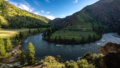
It’s times like this, however, when there may be no better antidote to our worries and stresses than the outdoors. Fortunately, we can stay close to home and find solace on the trails and parks in our greater “backyards” for time being. If cabin fever is starting to set in, however, the opportunities to virtually explore the world are abundant. You can even hop on a virtual river trip down two of the best stretches of river in the Western U.S.—the Colorado River through Grand Canyon and the Yampa River.
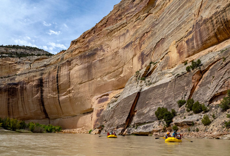
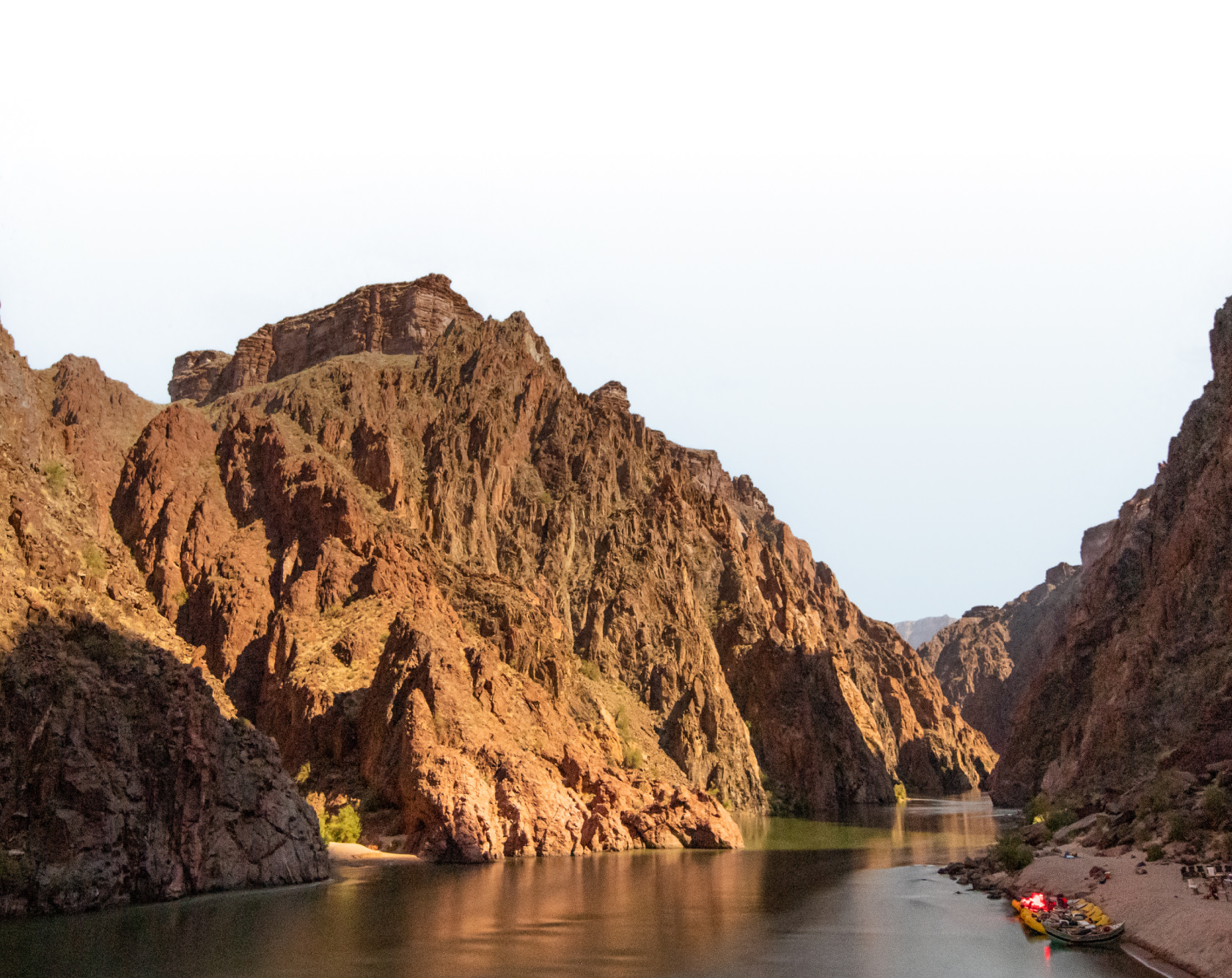
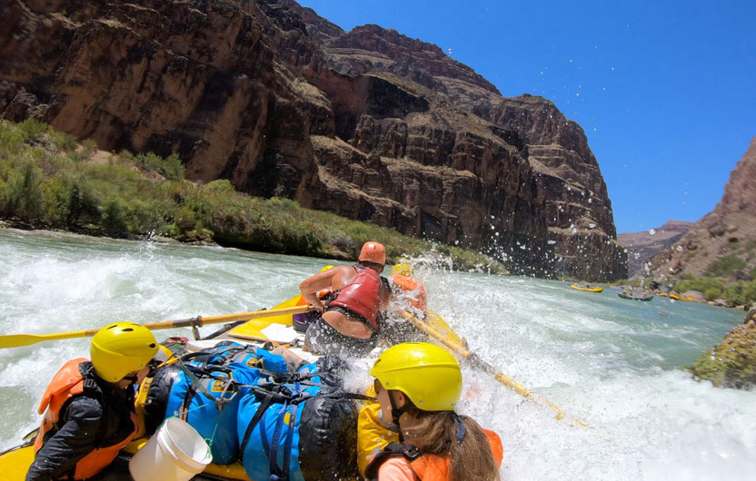
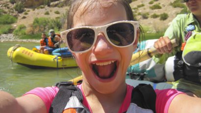
In 2013, Google and American Rivers teamed up to bring the world a 360-degree Street View of the Colorado River through the Grand Canyon. The following year, American Rivers asked Friends of the Yampa and OARS to join in on the fun, and using a Street View Trekker camera, we captured a 360-degree panorama of the Yampa River through Dinosaur National Monument. If you’re looking for an escape, both of these Google Earth experiences invite you to “join the raft” and journey down two of the country’s most cherished landscapes.
In fact, you can explore 31 of our national parks through Google Earth right now, including Yosemite and Rocky Mountain National Parks which are currently closed to visitors. For an extra-special at-home adventure, however, don’t miss “The Hidden Worlds of the National Parks” virtual tours, which give you the chance to join a park ranger on some of most unique nature-based experiences within our parks. You can journey into a crevasse in Kenai Fjords, trek by headlamp through Carlsbad Caverns and ride a horse through hoodoos at Bryce Canyon.
Trust us, we know how much of a bummer it is that you can’t physically visit these breathtaking landscapes right now, but there’s no better time than now to dream up your next big adventure.
Photos: Grand Canyon rafting trip – Josh Miller; Yampa River rafting trip – Collen Miniuk
Sign up for Our Newsletter