Merced River Rafting Near Yosemite National Park
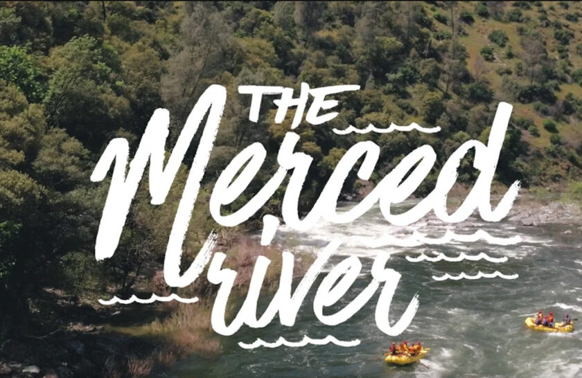


A Merced River rafting trip is one of the best one-day adventures near Yosemite National Park. Catch it while you can in the spring and early summer months!
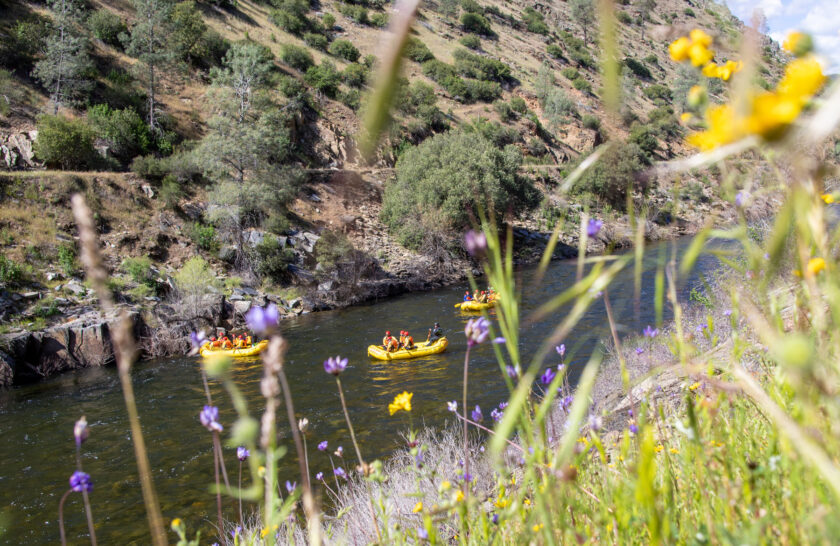
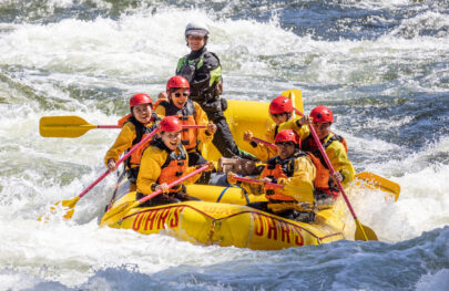
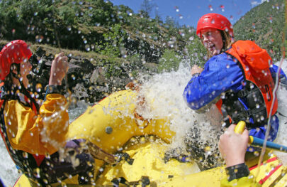
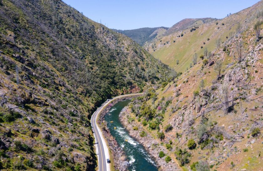
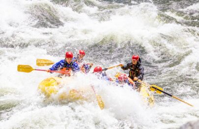
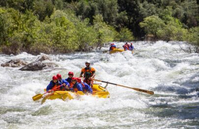
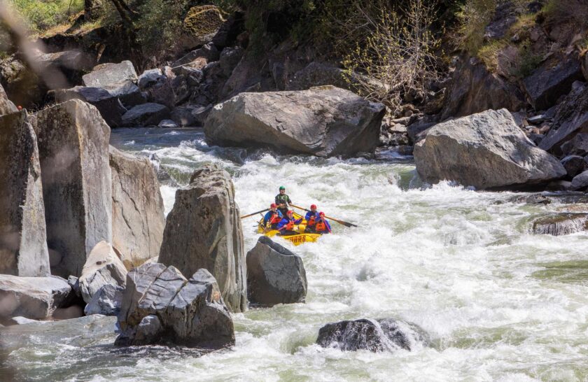
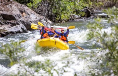
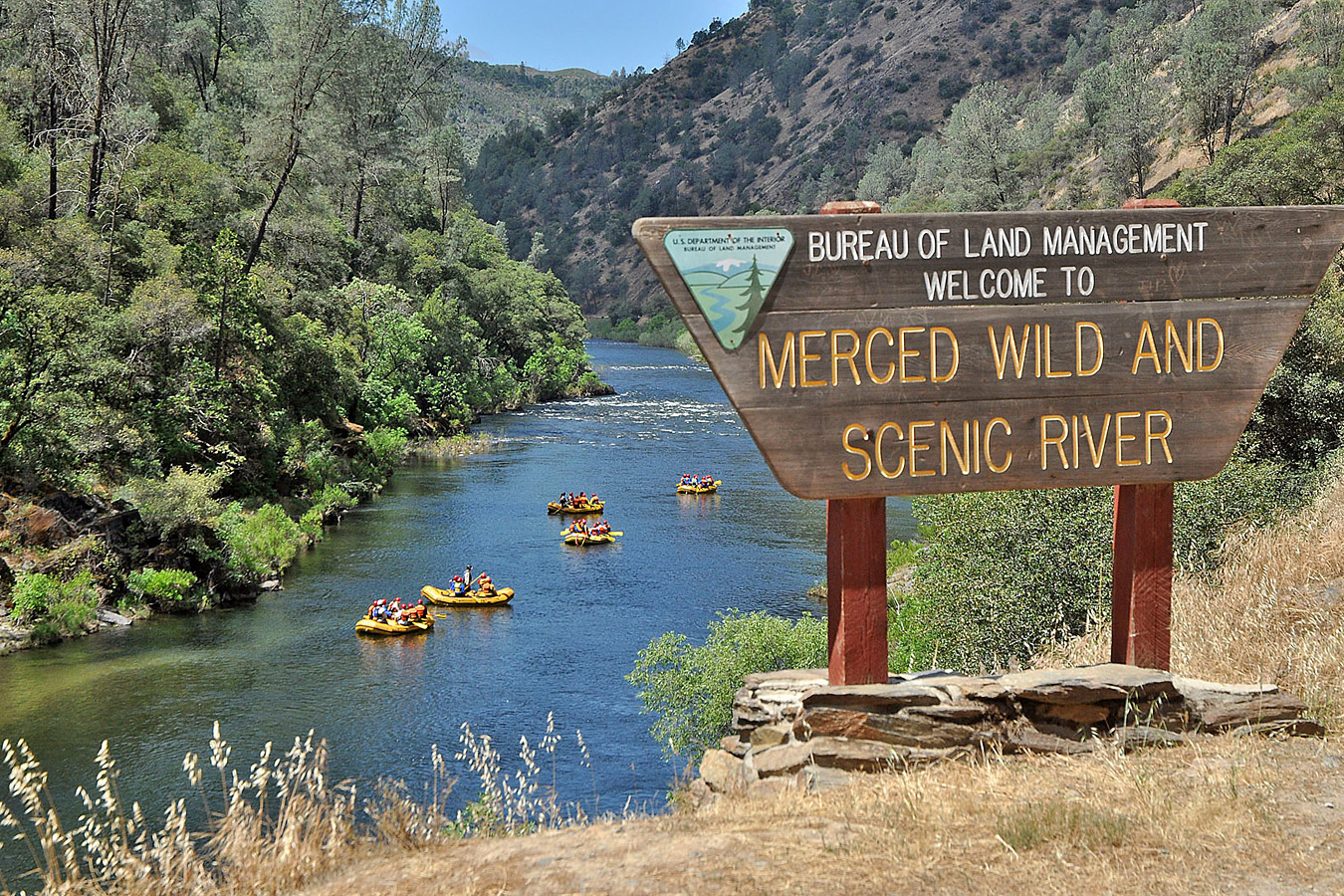
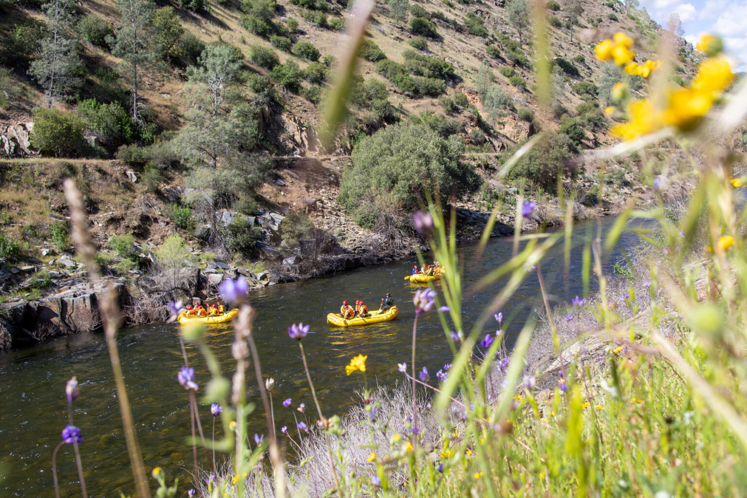
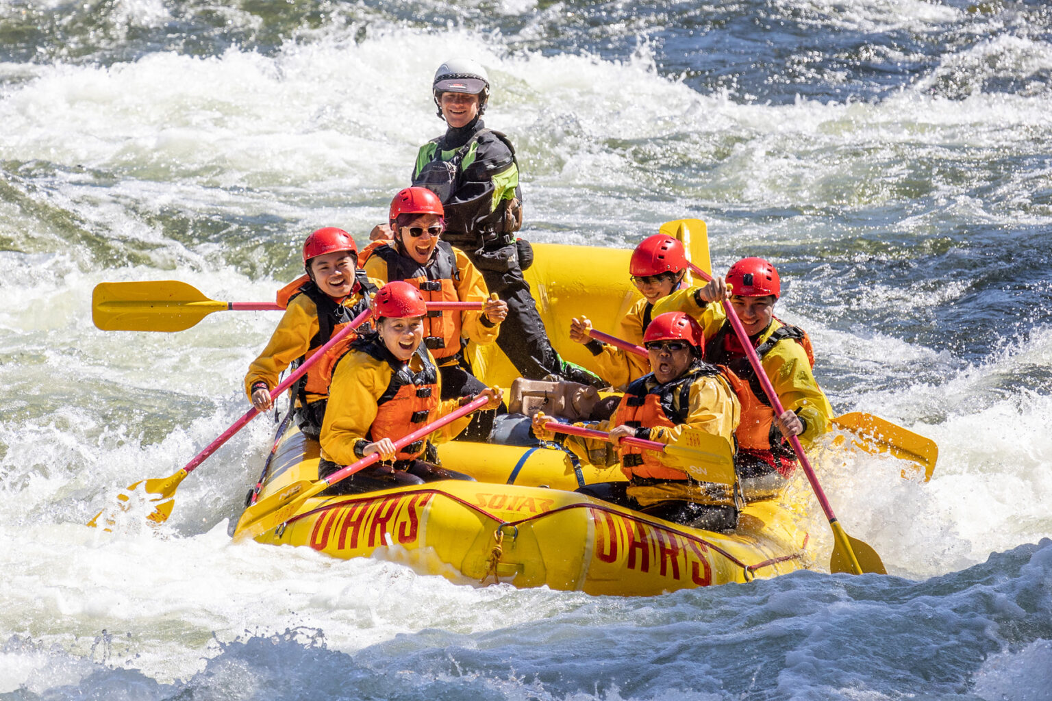
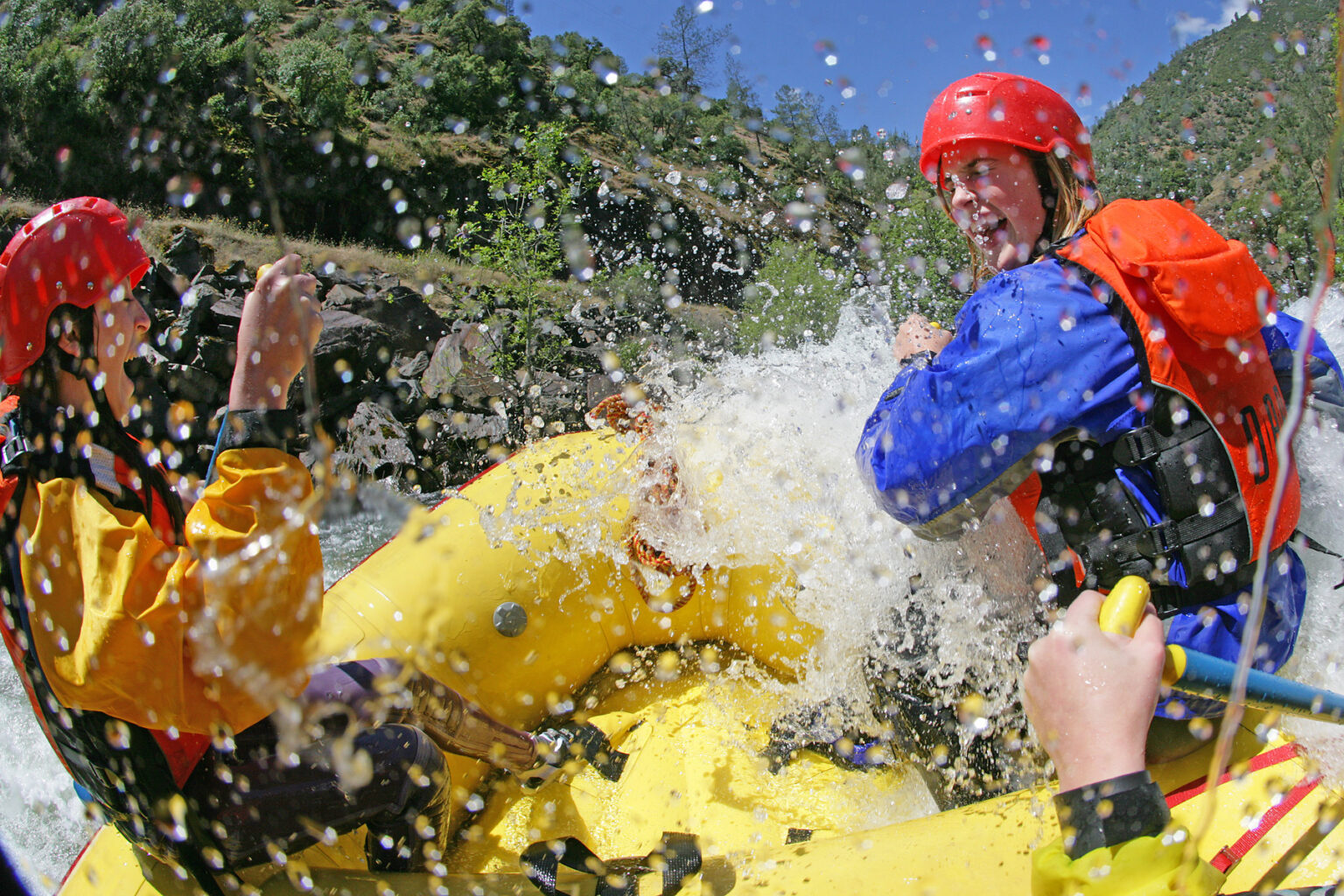
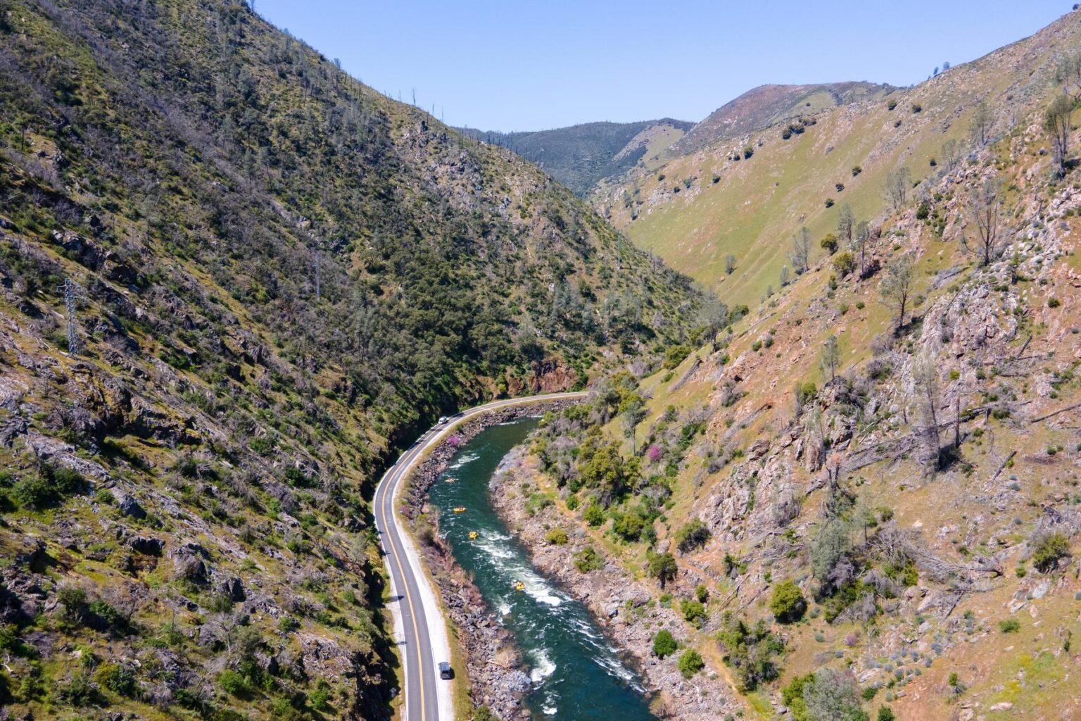
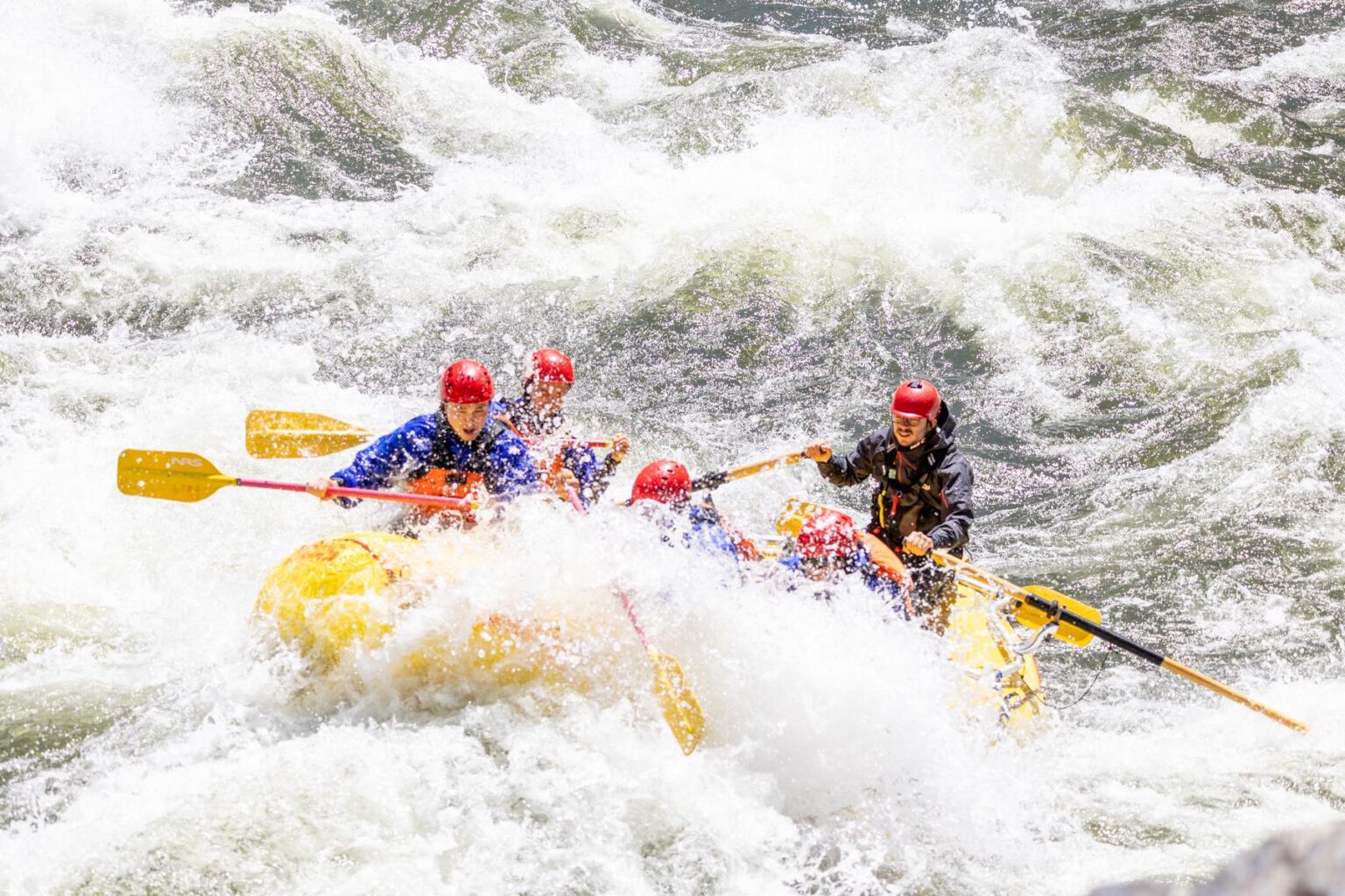
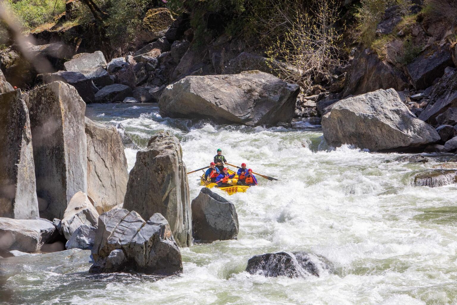
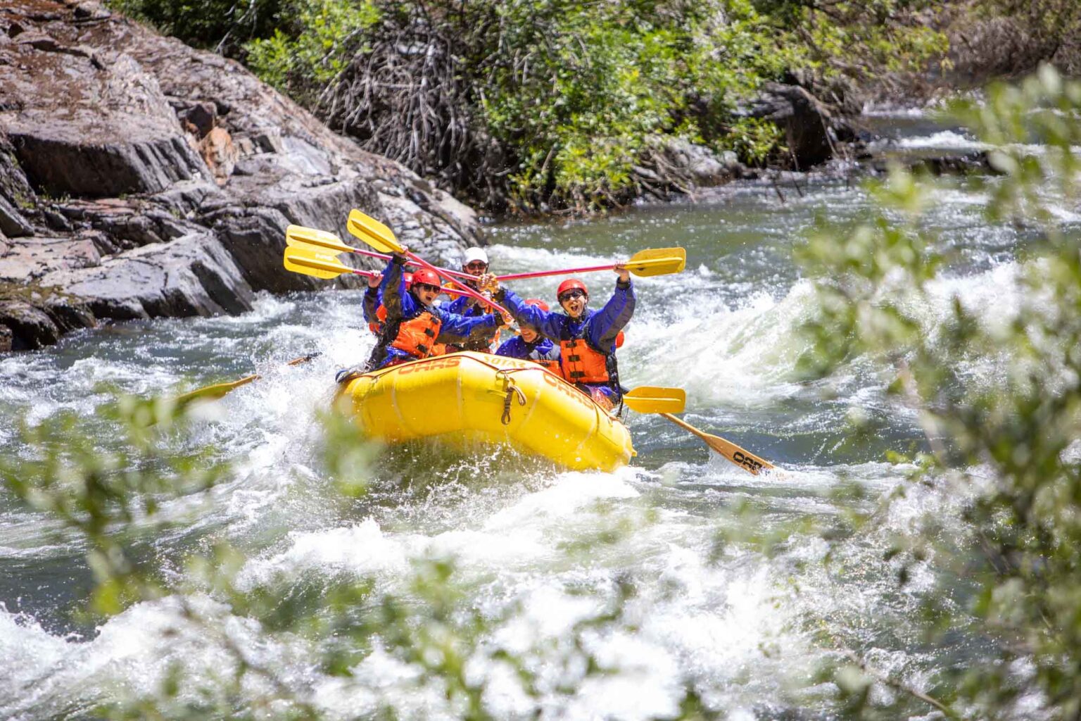
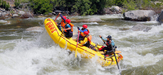
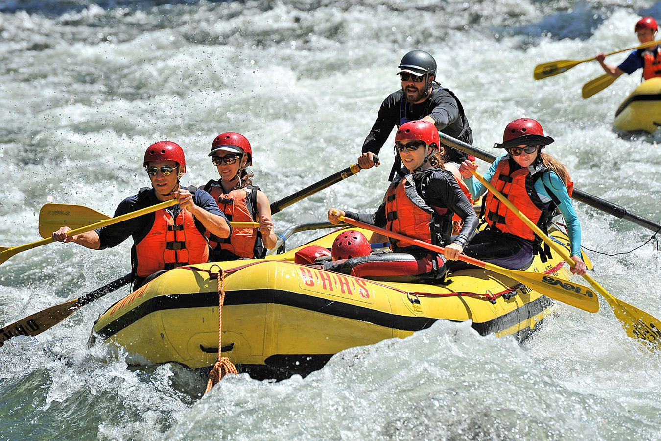
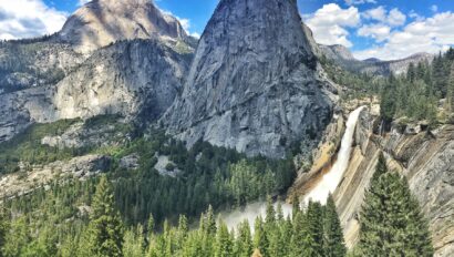
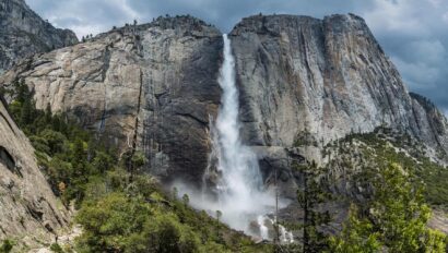
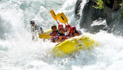
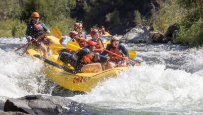
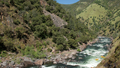
Spring fever comes early on the Merced River. In April and May, the river flows fast and cold as the snow melts in Yosemite National Park all while passing poppy-covered hillsides and burly pine forests. The Class III-IV whitewater you’ll tackle on a Merced River rafting trip is the stuff of avid paddlers’ winter daydreams. For the rest of the California whitewater rafting season, the Merced churns with bold wave trains and exhilarating rapids which are ideal for rafters of all levels. Consider combining a Merced River rafting trip with a day or two spent exploring adjacent Yosemite National Park for the perfect California adventure vacation.
Trip Highlights
Save 10% When you Book Online
What to Expect
Itinerary & Map
Itinerary at a Glance
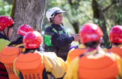
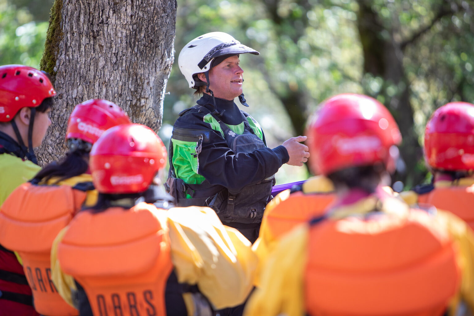
We pride ourselves in running a relaxed and flexible schedule. Every Merced River rafting trip is different depending upon the group, other trips on the water, camp locations, and sometimes the weather. The following is a sample of what your trip might be like:
Meeting Time & Place
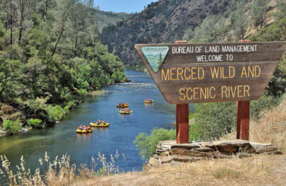
Location
9.4 miles northeast of Mariposa on Highway 140
Look for our signs 1.3 miles north of Midpines Post Office on your left. If you miss the turnout, you can turn around at the entrance to the Yosemite Bug Hostel (.4 miles down the road).
GPS Coordinates: 37.576327,-119.947695
Meeting time
9:00 AM
Return
Approximately 5 PM, depending on water levels
Trip Map
Dates & Prices
April – July: Daily
| 2024 Prices | |
|---|---|
| Standard Value | $179 |
| Youth Value | $169 |
| Standard Rate* | $199 |
| Youth Rate* | $189 |
*Applicable Saturdays May 25 – June 29 and Sunday May 26
The Need-to-Know Info
Trip Details
Included in Your Trip Cost
Not Included in Your Trip Cost
- Transportation to the meeting place and back
- Pre- and post-trip accommodations and meals
- River access fees
- Wetsuit booties or shoes of any kind
- Insurance of any kind, including a travel protection plan
- Gratuities
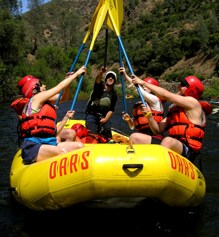
The number and variety of boats on an OARS trip will vary based on water levels, the number of participants, and other factors we take into account when planning your adventure. Please be aware that in doing so we will ask you to share boat time with your fellow travelers. We don’t assign boats, nor can we guarantee exactly which crafts we bring, but trust us to provide you with the best possible mix for you and others on your trip.
Learn more about the OARS Fleet and the boats that may be a part of your experience: paddle raft; paddle raft with oar assist.

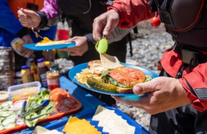
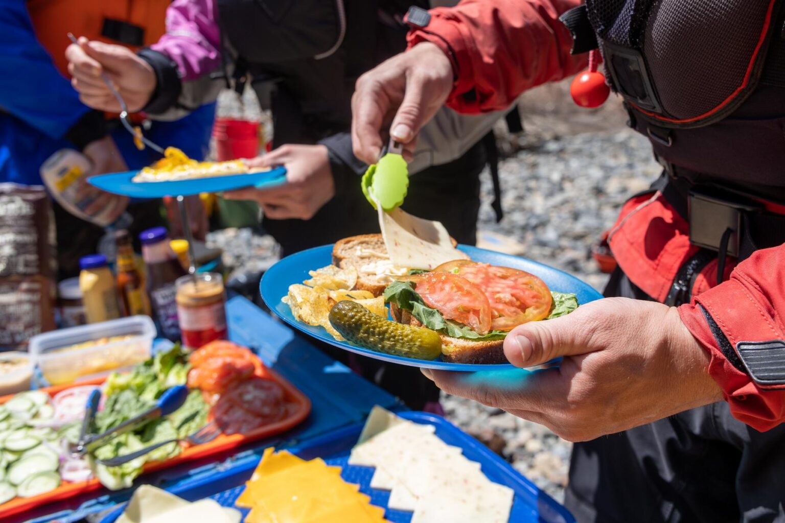
At lunch, which is provided, we’ll pull over to shore for a delicious riverside picnic. Your guides will lay out an abundant spread of cold cuts, cheeses, veggies, and breads, or perhaps a fresh Caesar salad wrap or tasty taco salad for roll-your-own burritos. Lunch is always accompanied by fruit, cookies, cold water, and lemonade.
Please let us know if you have any dietary needs that we’ll need to consider in planning your trip. More info about Meals & Dietary Restrictions can be found on our Trip Resources page.
Average Air & Water Temperatures
| Air (Day) °F | Water °F | Notes: | |
|---|---|---|---|
| April | 63-67 | 40-50 | Extremely variable weather; lots of wildflowers |
| May | 71-75 | 42-46 | Possibility for late spring storms, high-water possible |
| June | 80-84 | 46-52 | Warm days; chance of showers; potential high-water |
| July | 88-92 | 54-60 | Hot, sunny days; low-water, ideal for swimming |
Whitewater
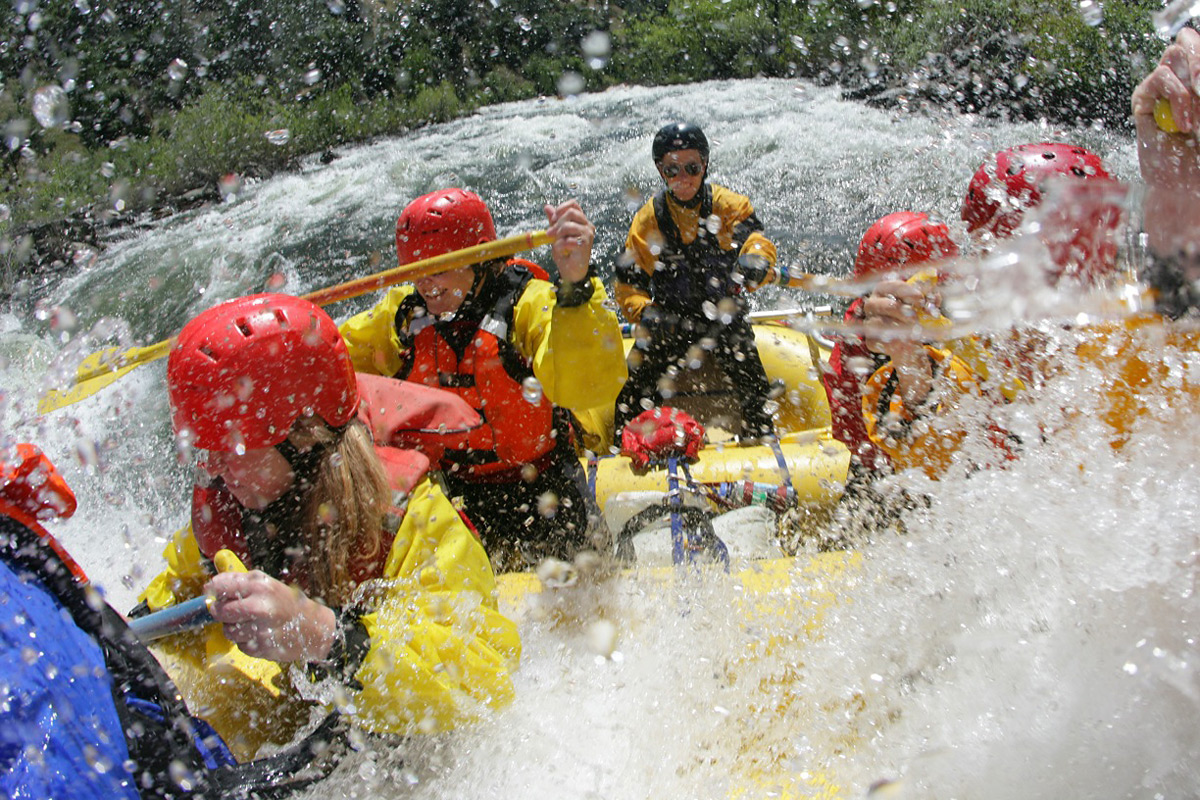
During the spring, the Merced features mile after mile of huge wave trains and long staircase drops, delivering nearly non-stop whitewater thrills. However, it is still suitable for aggressive beginners; its intensity is kept somewhat in check by a general lack of obstacles amidst the rapids and by the calm, glassy pools that provide a reprieve between bursts of whitewater. The Merced’s free-flowing waters—dependent solely on snowmelt, without dams or reservoirs in the way—keep its season short and sweet! Rafting season on the Merced River is generally limited from late April to mid-June but can extend into July depending on the preceding winter’s snowfall.
Before booking your trip with OARS, there are a few important considerations we’d like you to know about.
Reservations and Payments
Full payment is required at the time of booking.
Payments can be made by check, money order, eCheck, wire transfer, Visa, MasterCard, American Express, or Discover. Prices are in US Dollars, and all payments must be made in US Dollars. Payment of the deposit establishes your acceptance of our complete Terms and Conditions. Individual departures and trip capacity are strictly limited by the managing agency. Your payment is fully refundable for 48 hours, less a 3% processing fee, after making a reservation when you reserve a trip 7 days or more prior to departure.
Cancellations and Refunds
Canceling your trip after your deposit is processed will incur cancellation fees because OARS has absorbed costs on your behalf and will turn others away who would like to book the spaces we’re holding for you. If you must cancel your reservation after the rescission period described above, your cancellation fee will be determined according to the schedule below.
We regret that we cannot make exceptions to the cancellation policy for any reason, including foul weather, poor air quality, wildfire activity, acts of terrorism, civil unrest, or personal emergencies. For these reasons, we strongly urge you to consider purchasing a travel protection plan.
| Date of Cancellation | Cancellation Fee |
|---|---|
| 30 or more days before your trip | $30/person |
| 29 – 7 days before your trip | $50/person. The remainder of your trip payment can be transferred to another trip within the same year (or to a credit account for the following year). No refund. |
| 6 days or less before your trip | 50% of the trip cost can be credited to another trip (within the same year). No refund. |
| Late arrivals or “no-shows” | No refund or credit |
Please note that different deposit/cancellation policies may apply for charter groups. Refer to the group organizer’s confirmation email for details.
Canceled Trips
OARS reserves the right to cancel any trip due to insufficient registration or other factors that make the trip impractical to operate. In such instances, we will inform you at least 7 days prior to departure. Do not make non-refundable travel arrangements until you have verified with OARS that your trip is confirmed.
If a trip must be canceled or postponed due to force majeure (factors outside the control of OARS), OARS will provide full credit for payments made toward future travel, or a refund less a $30/person service fee and any non-refundable payments made on your behalf to 3rd-party suppliers. OARS will make good faith efforts to recover deposits made on your behalf to 3rd-party suppliers; however, we cannot guarantee recovery of any or all of the advance payments made. OARS is not responsible for expenses incurred by participants in preparation for a canceled trip.
Transfers
If you need to move your reservation to a different trip during the same year, or to a credit account for the following year, there is a $15/person fee up until 30 days prior to departure for a one-time transfer of your payment. If we are 29-7 days prior to your trip departure, there is a $50/person fee to transfer to another trip, within the same year or to a credit account for the following year. If we are 6 days or less prior to departure, 50% of your trip cost can be credited to another trip within the same year only.


O.A.R.S. West, Inc. operates on the Merced River under authorization from the Bureau of Land Management
Ancestral Lands Acknowledgement
We respect and recognize that many of the river canyons on state and federal lands where we operate are the ancestral homes of indigenous communities. Where we operate on the Merced River from Cedar Lodge to Railroad Flat, we acknowledge the territories of the Southern Sierra Me-wuk.

For You
You May Also Like
Middle Fork American River Rafting
Location:
California
Adventure Level:
Moderately Challenging
Minimum Age:
14
South Fork Whitewater Rafting 21-Miler 1-Day
Location:
California
Adventure Level:
Moderately Challenging
Minimum Age:
12
Tuolumne River Rafting Near Yosemite National Park
Location:
California
Adventure Level:
Moderately Challenging
Minimum Age:
14 (16 during high water)
Can’t Decide?
Use our Compare tool to find your perfect Adventure.